
Home › Skills › Scan to BIM 3D & geographic information systems

Skill

Scan to BIM 3D & geographic information systems

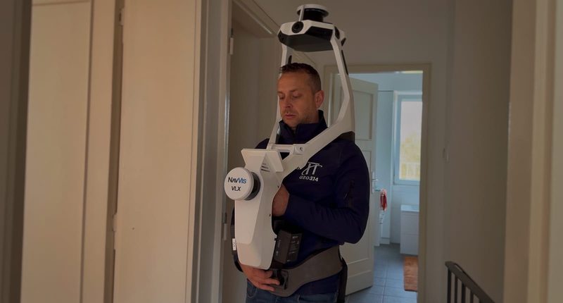
3D laser scanning of buildings and infrastructure to create precise digital models, plus geographic data management and visualisation tools.

Scan to BIM 3D & geographic information systems — SECO Luxembourg
Areas covered

What this skill covers

3D laser scanningDigital modellingPoint cloudsGeographic information platformsGeographic dataSpatial analysis

A question about “Scan to BIM 3D & geographic information systems”?

Our specialists answer in-house. Let’s talk about your project.

Contact an expert
Groupe SECO

The SECO Group

SECO Luxembourg is part of the SECO Group, founded in 1934 by the construction sector as a technical cooperative, present in Belgium, the Netherlands and Luxembourg.